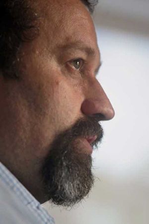
Andrew Curtis (Director of the GIS Health and Hazards Lab at Kent State University) is a former Director of the World Health Organization's Collaborating Center for Remote Sensing and GIS for Public Health. His work employs geospatial technologies and geographic information system (GIS) analysis to support neighborhood scale intervention strategies. He has developed a spatial video methodology that includes data collection, spatial layer creation and fine scale spatial analysis for use in mapping any challenging environment. Added to this are geonarratives which are environment inspired dialogue that can be mapped and analyzed to provide contextual insight to traditional spatial analysis. These approaches have also been modified for landscapes of crime, health, marginalized populations, and most recently the genocide landscapes of Cambodia.
