Holocaust Geographies Collaborative Explores Visual History Archive
The Holocaust Geographies Collaborative is a multi-institutional, collaborative nine-member research group that uses mapping and geography to examine spaces and places of the Holocaust. The group came together in 2007 at a workshop hosted by the United States Holocaust Memorial Museum to discuss how geography, mapping and geo-visualization can shed new light on the history of the Holocaust.
So far, the Holocaust Geographies Collaborative has examined several topics: the spatial system of concentration camps; an architectural and visibility study of Auschwitz; victim transports to Italy; forced evacuations from Auschwitz at the end of World War II; and a detailed study of the Budapest ghetto.
In their research, the group creates maps and other visualizations (geographic information science, or GIS) illustrating where events of the Holocaust occurred, where and how people moved from place to place, and other data. For example, the group created an interactive map showing the locations of all the concentration camps in Europe and when they opened and closed over time.
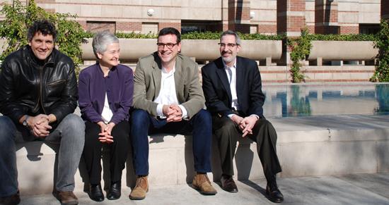
Alberto Giordano (Texas State University), Anne Knowles (Middlebury College), Tim Cole (Bristol University), and Paul Jaskot (DePaul University), left to right in the photo above, have spent the past week watching testimonies in the Visual History Archive for the first time.
The group said that what they found surprised them. While they expected to use the Visual History Archive’s indexing system to conduct research much as they have in the past, plotting locations on maps and tracing spaces and people throughout time, they realized the archive’s real value was in the qualitative, anecdotal content in the interviews themselves.
In fact, if they could combine the stories the survivors told about what happened to them with quantitative GIS data, they could create a link between real people and data that other Holocaust researchers have never before attempted – “to connect the individual with the systematic,” Knowles said.
“We don’t want to write another history of the victims, but rather explore the stories of these individuals and connect that to the big story, to cast a new light on the story,” Cole said. “We want to use the places and spaces as a way to tell new stories of the Holocaust, so suddenly different things become important.”
Testimony can also show how people’s personal experiences contrast with government sources and other records of the Holocaust, and give new insight into how the Holocaust was carried out.
The collective will next meet in April to solidify their goals for further research with the Shoah Foundation. They will also begin to develop grant proposals.